1 用語
1 用語
ホーム > 製品カテゴリ > 地球科学 > Remote sensing
Remote sensing
The process of using aerial sensor technologies to detect and classify objects on Earth both on the surface, and in the atmosphere and oceans by means of propagated signals.
Contributors in リモートセンシング
Remote sensing
高度な非常に高解像度放射計 (AVHRR)
地球科学; リモートセンシング
気象衛星 NOAA タイロス シリーズによって運んだマルチ スペクトル イメージングのシステム。マルチ スペクトルの crosstrack スキャナーの極軌道衛星を取得する 5 つのスペクトル バンドのデータ (0。55 に 12 します。50 m) で地上解像度のセル 1 の。1 で 1 します。1 km を ...
Featured User
ピックアップされたグロッサリ
badr tarik
0
用語
57
グロッサリ
2
フォロワー
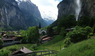
The Most Beautiful and Breathtaking Places in the World
カテゴリ: トラベル 2 14 用語
14 用語